Gap-Free Flood Zone
The Urban Footprint Gap-Free Flood Zone dataset combines the FEMA National Flood Hazard Layer (NFHL) and U.S. Environmental Protection Agency (EPA) Estimated Floodplain Map of the Conterminous U.S datasets to produce a gap-free continuous 100-year flood zone layer for the conterminous U.S. (CONUS). Our algorithm considers FEMA as "truth" and uses the EPA data to fill gaps in the FEMA datasets. Gaps may exist in the FEMA datasets where the maps may not exist, have not been digitized, or where the area is explicitly stated as unknown. Combining these datasets provides complete CONUS coverage and substantial improvements over FEMA alone.
The U.S. Environmental Protection Agency (EPA) Estimated Floodplain Map of the Conterminous U.S identifies areas estimated to be inundated by a 100-year flood, also known as the 1% annual chance flood. This dataset completes areas FEMA has not yet mapped, representing about 30% of the conterminous United States. These data were developed using random forest classification of nationally available biophysical datasets. A value of 1 indicates that the asset is in the 100-year floodplain, and a value of 0 indicates that it is not.
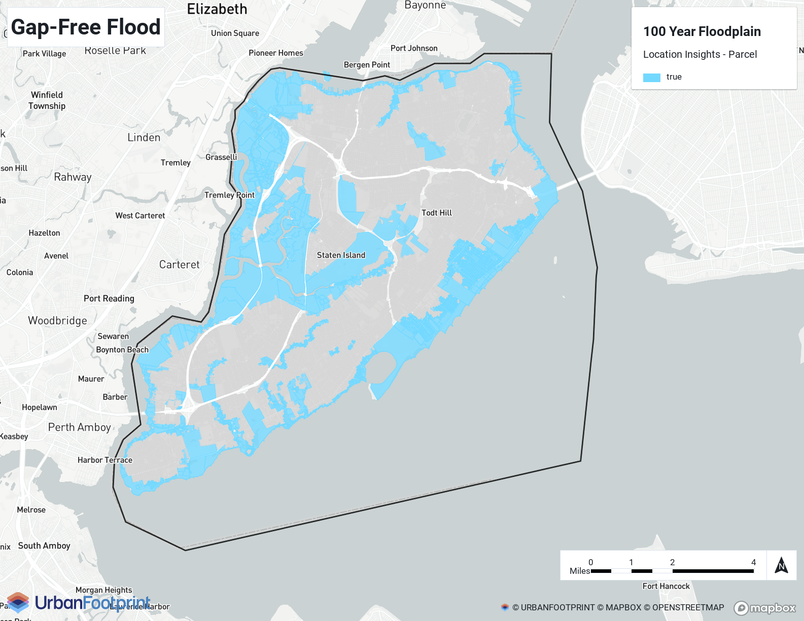
Analyst Example – Gap-Free Flood shows the gap-free flood impact on Staten Island, NY parcels from the Location Insights parcel layer in Analyst.
 |
Availability: Location Insights | Climate & Hazard Insights