Base Map Options and Features
Base maps sit beneath your mapped data layers. Analyst offers twelve base map options to suit different uses and styles.
Select a Base Map and Features
To change the base map for your project:
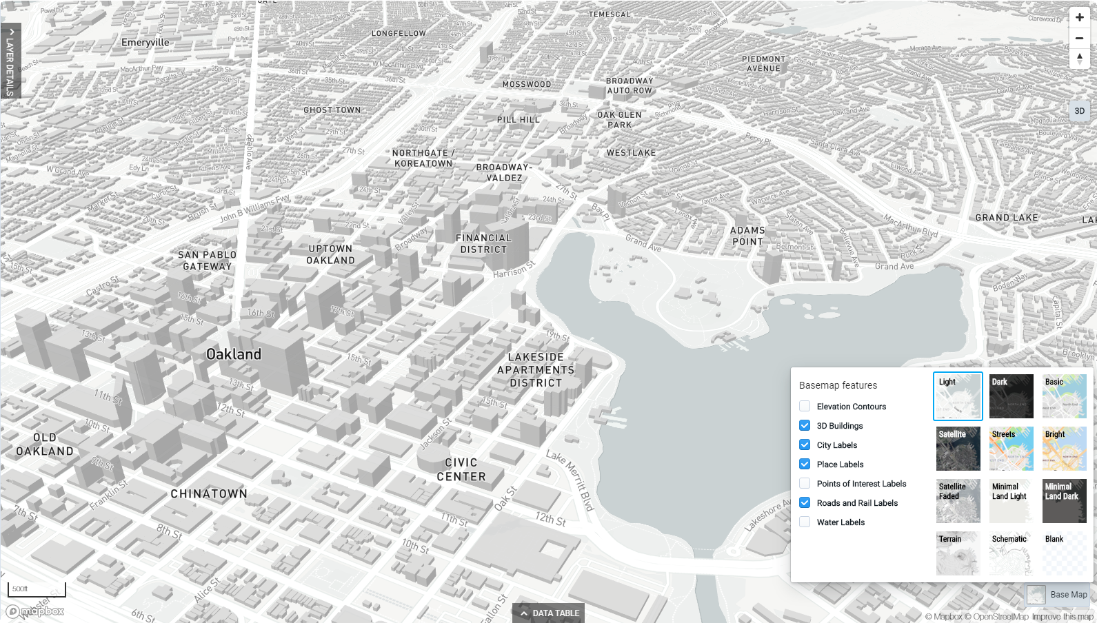
Click the Base Map control in the lower right corner of the map view. The Base Map Selection window appears.
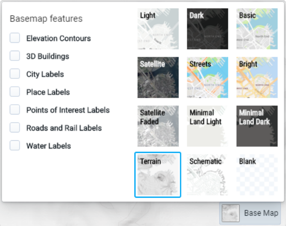
Select a new base map option. The map will update automatically as you select options, so you can browse the different styles. See Base Map Options for examples of each.
Use the basemap feature checkboxes to select features to include. Options include elevation contours, 3D buildings, city labels, place labels, points of interest labels, roads and rail labels, and water labels. The depiction of features may vary at different map zoom levels. See the Base Map Features Overview for more about the options.
Click outside the map dialog to close the selection window. Your selection will be saved.
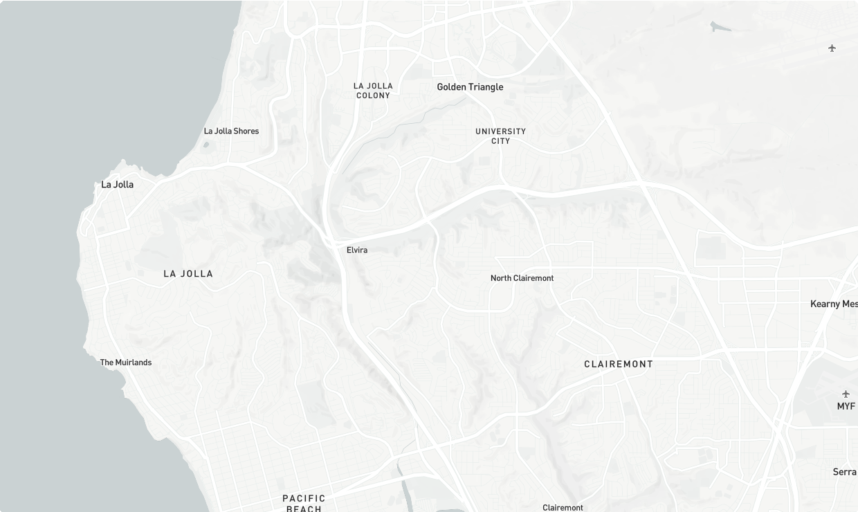
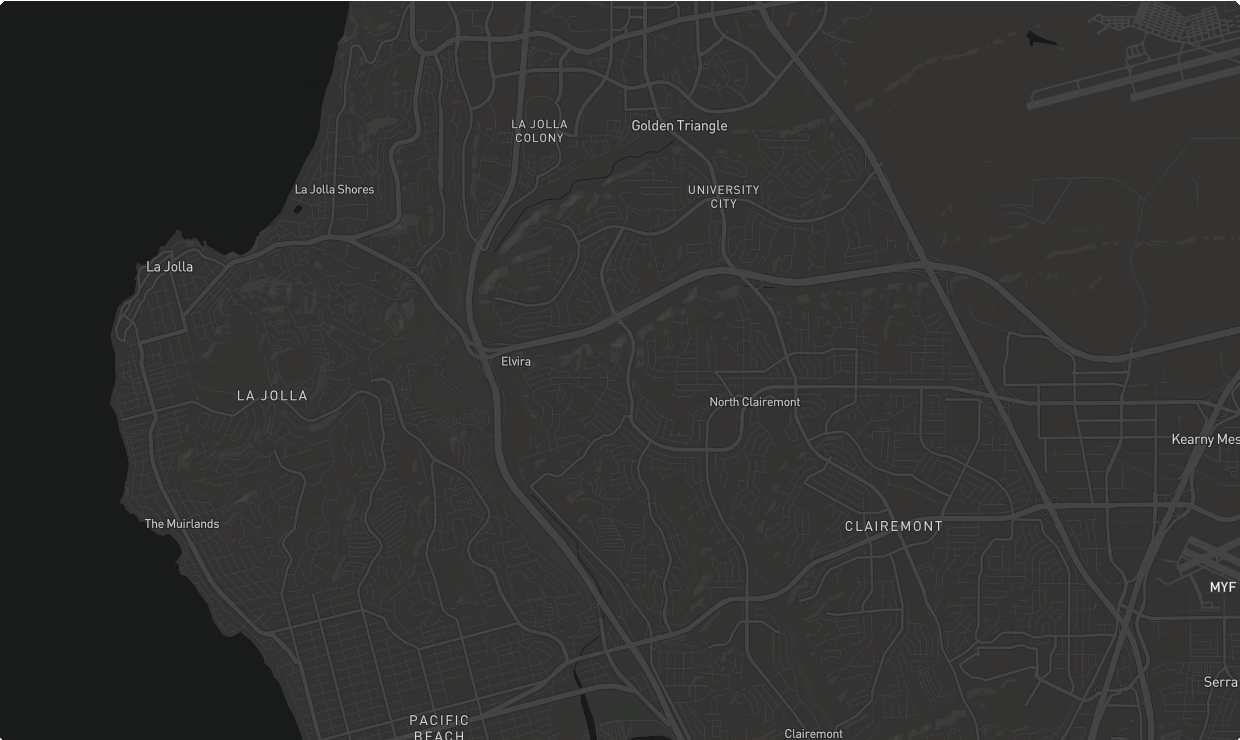
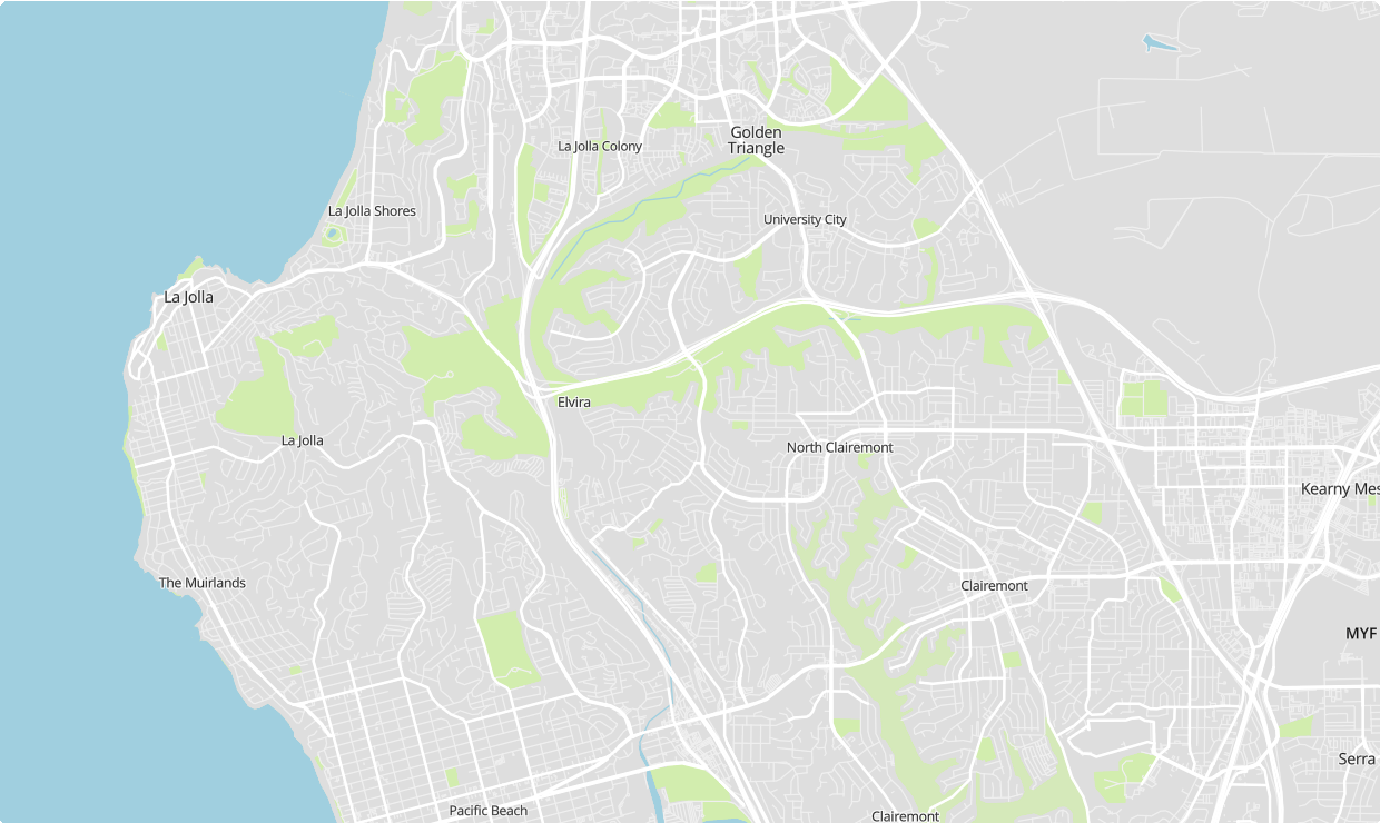
Base Map Options
The base maps are served as Mapbox vector and raster tiles, with sources as indicated in the map view and map exports. Examples of the base map options are shown below.
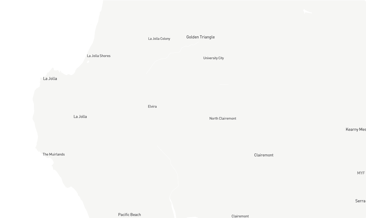
Light
 |
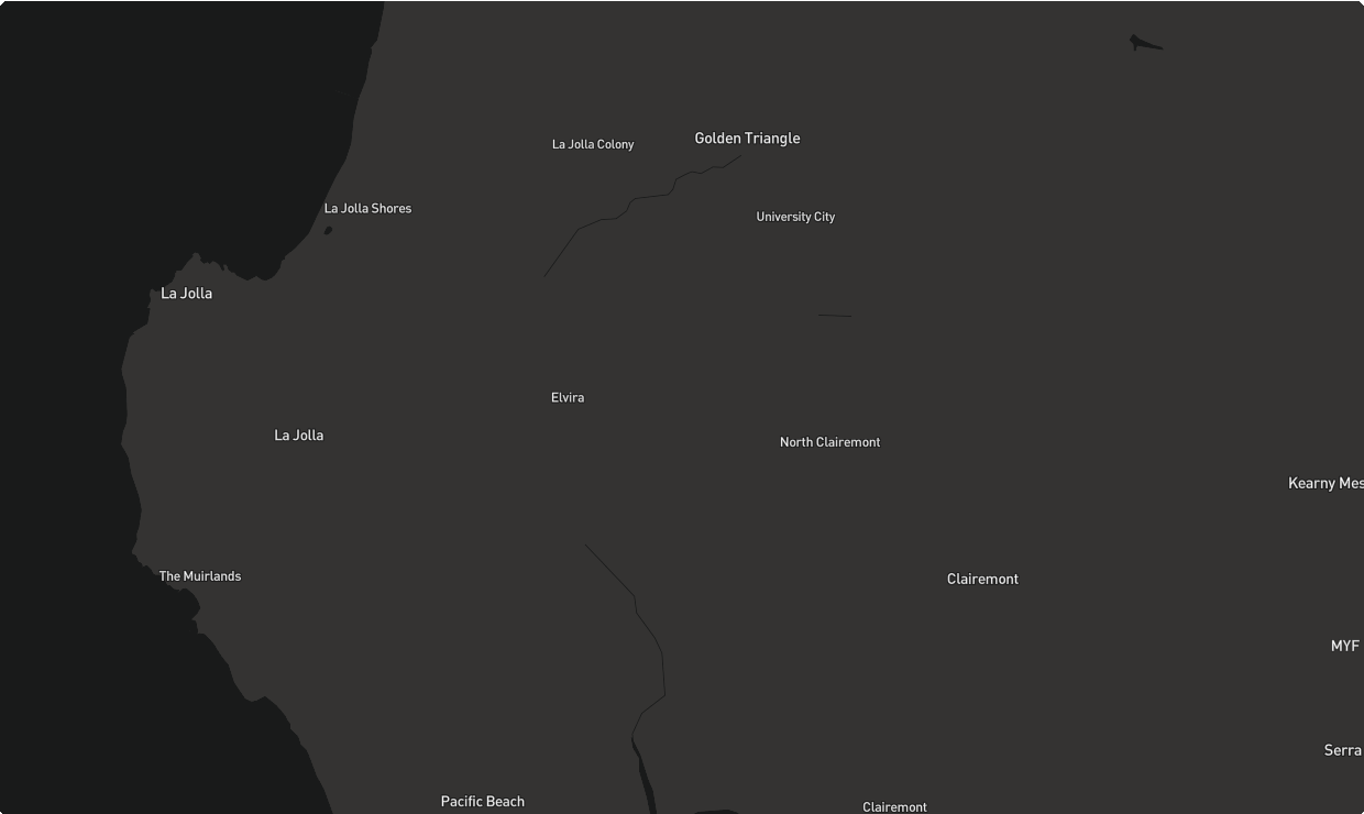
Dark
 |
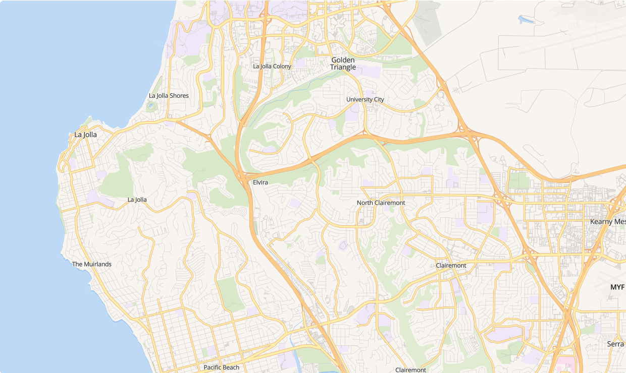
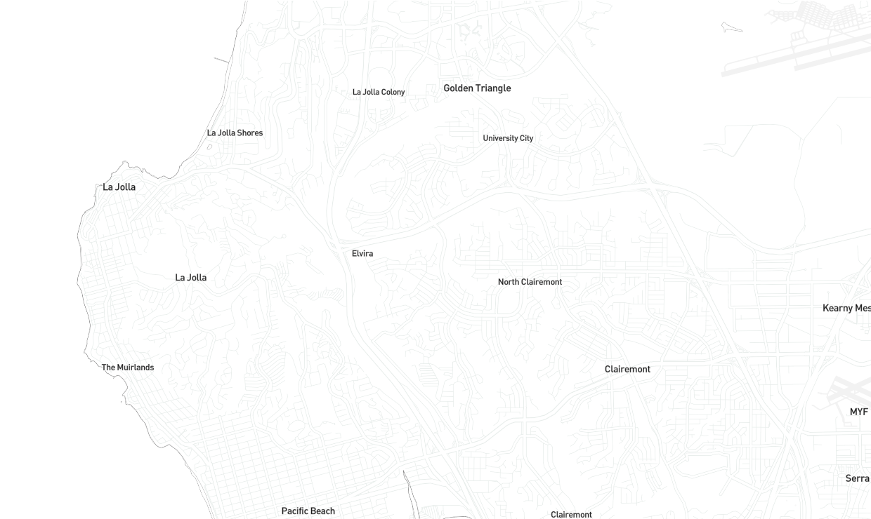
Basic
 |
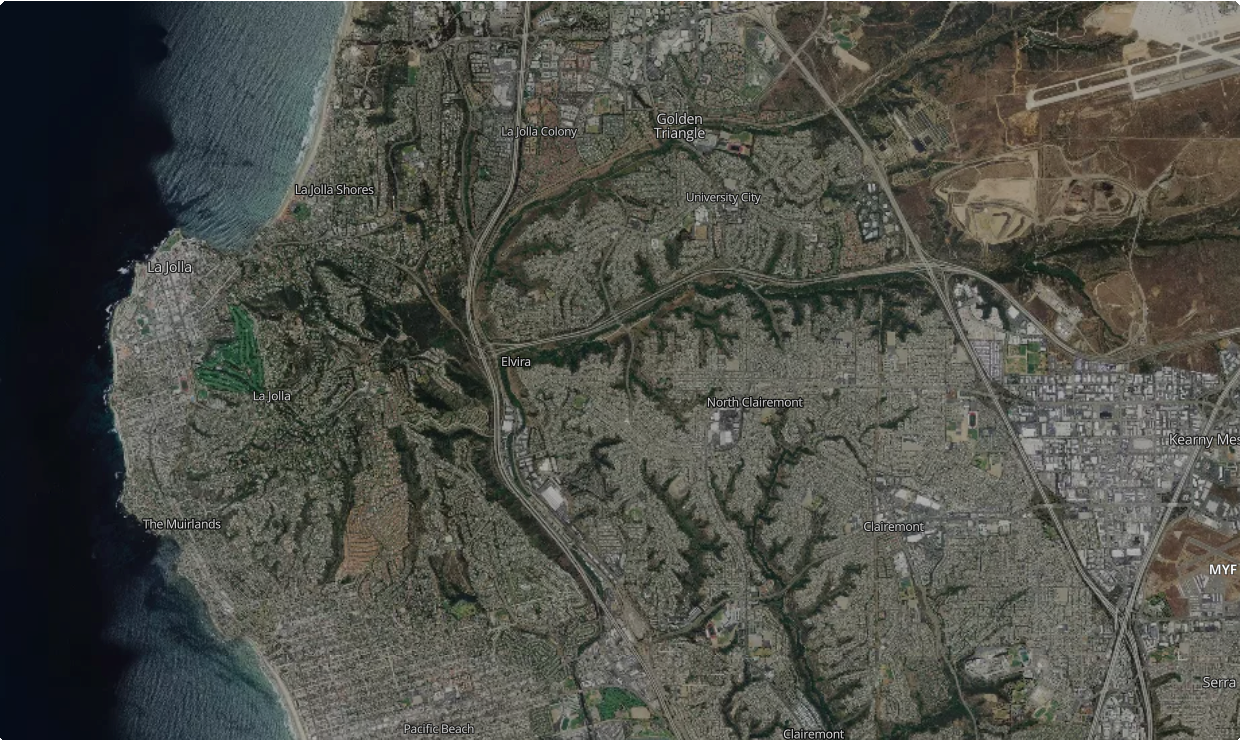
Satellite
 |
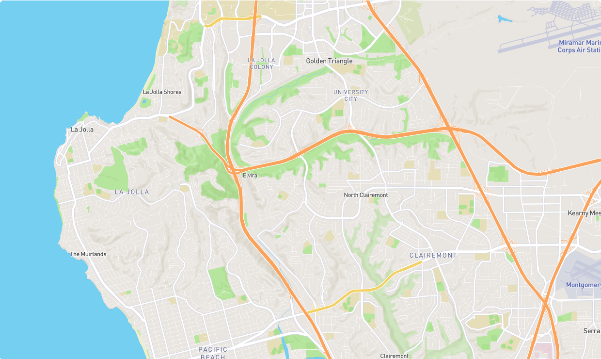
Streets
 |
Bright
 |
Satellite Faded
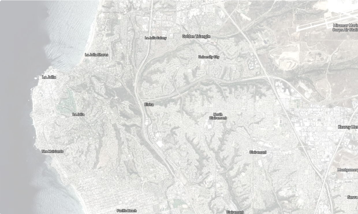 |
Minimal Land Light
 |
Minimal Land Dark
 |
Terrain
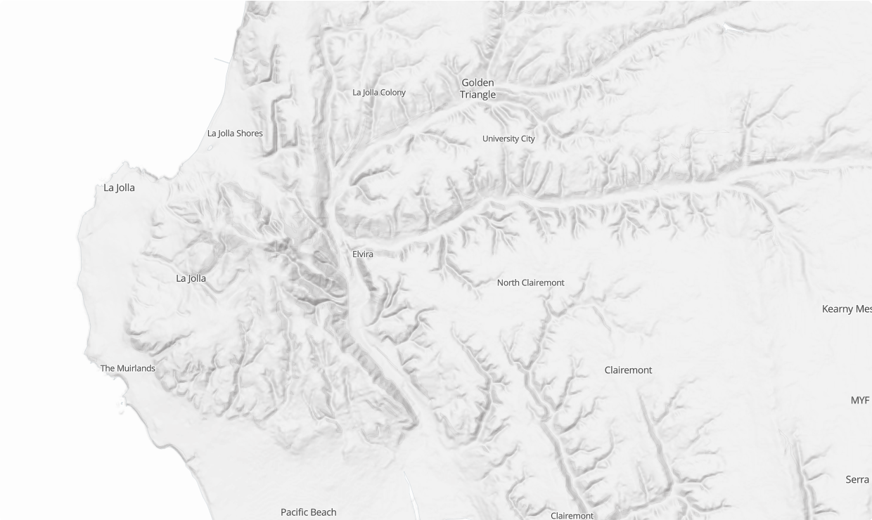 |
Schematic
 |
Blank (with the Base Canvas layer visible)
 |
Base Map Features Overview
Elevation Contours
Elevation contour lines depict elevation by joining points of equal elevation. The contour interval (distance between elevation lines) depends on the zoom level used. These distances range from 10 meters to 500 meters. Elevation contours are only available as metric measurements.
3D Buildings
The 3D building depictions are based on building footprints and height as reported to OpenStreetMap. With over 13 million 3D buildings, coverage of this feature set is largely within major metropolitan areas. 3D buildings are only rendered at high zoom levels. The buildings appear as 3D when in 3D map mode.
 |
Map Labels
Map labels are available to add local and regional context to your map. Options include:
City Labels – Census-designated cities.
Place Labels – Common neighborhood, district, or borough names.
Points of Interest Labels – Parks, museums, colleges, civic buildings, landmarks, and other points of interest.
Roads and Rail Labels – Names or designations for major and arterial streets, highways, and freeways.
Water Labels – Lakes, Rivers, Streams and Ocean labels.
Labels can be turned on or off but not edited or exported. The inclusion of labels varies at different zoom levels. While you cannot style labels, their native styles are varied to complement the other base map options.