Base Canvas
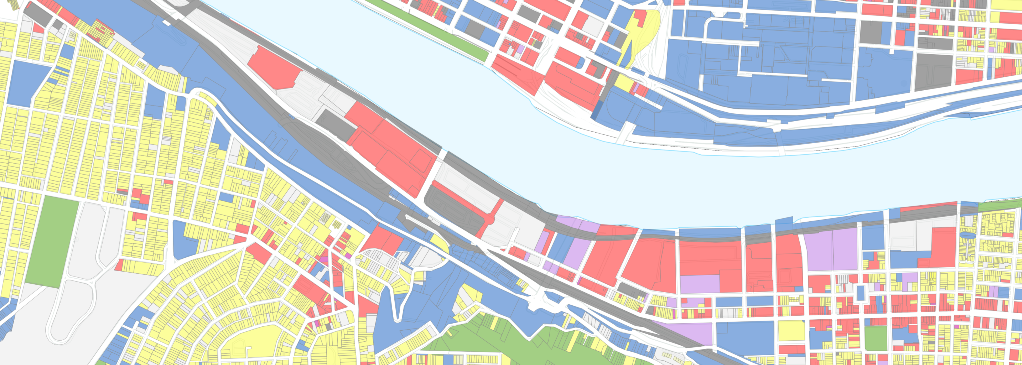 |
The Analyst Base Canvas represents the current built environment of the United States using County Assessor parcel geometries. It includes the primary land use, the number of building units, and the number of people living and working in each canvas geometry, based on several sources. These features can be the foundation of future scenarios in places across the country or allow for greater fidelity in reviewing future conditions of these places. For more comprehensive information about the Base Canvas, refer to the Base Canvas Methodology. For a video overview that explains all the basics of the Base Canvas, you can also watch our webinar: What is the Base Canvas?