Map Snapshots
A map snapshot is an image export of your map view as it appears on screen—essentially, a screenshot of your map. Map snapshots are quick alternatives to map exports, which are used to create finished maps. For map exports, you can configure map orientation, dimensions, and resolution; and specify all the elements needed for a standalone map, including a legend, title, north arrow, scale bar, and logo. Map snapshots, by contrast, are generated at a click of a button. They are handy for quick comparisons, and especially useful for map slide sequences or animations.
Create a Map Snapshot
Maximize your browser window. The dimensions of your map snapshot will reflect the map view as seen on the screen. Maximizing your browser window can help you create subsequent snapshots of the same size. The resolution of map snapshots depends on the resolution of your display.
Set up your map view as desired. You can use map positions or the map search and navigation controls to set up your view.
Click the map snapshot button
 . The button is located in the upper right corner of the map pane. Your map snapshot, in PNG format, will download instantly to your computer. Filenames include a date and timestamp.
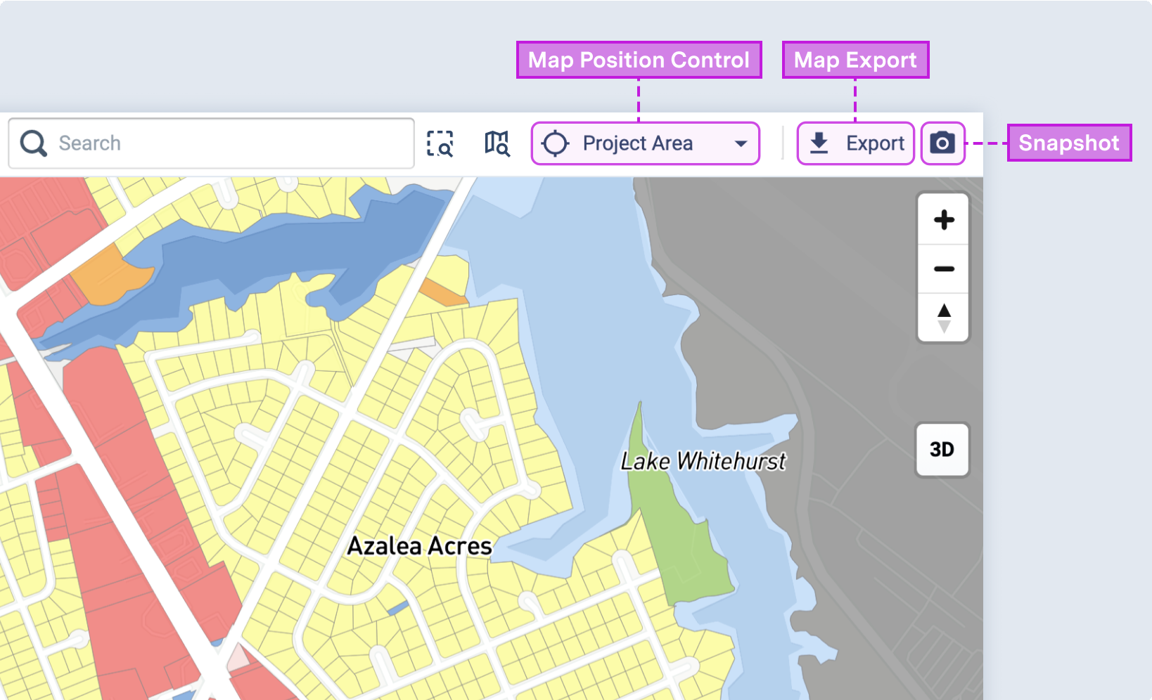 |
Map snapshot, export, and position controls
Note
The map snapshot button may not appear on smaller screens when the Layer Details pane is expanded. To access the button, try collapsing the Layer Details pane or reducing the zoom level of your browser's display.