
Resilience Insights

About UrbanFootprint Analyst

With your license, you can access UrbanFootprint Analyst, a web-based GIS application that you can use to visualize and explore the Resilience Insights data package. You can use Analyst to conduct detailed regional and site-level analytics and analyze Resilience Insights.

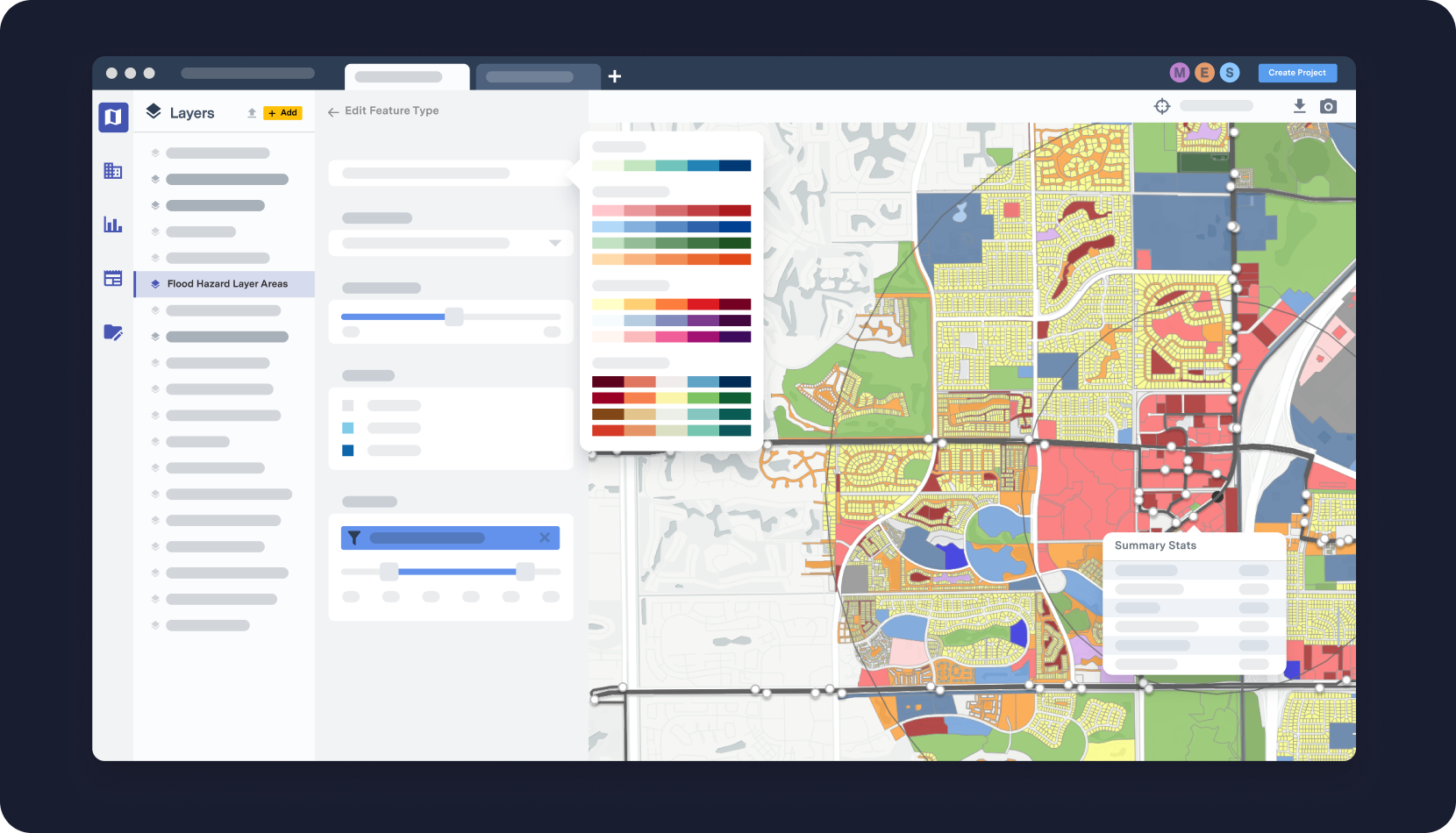
Figure 1. UrbanFootprint Analyst
UrbanFootprint Analyst


Your work in Analyst takes place in projects, and right away, you can choose among several projects: General Analysis, Land Use Scenario Analysis, Location Insights Analysis, and Core Resilience Insights Analysis.

Beyond the default layers included in these projects, you can add data reference layers. You can also collect locations to connect to Insights and receive layers specific to those locations that you can add to your projects.

Get Started with the most common tasks and then refer to Analyst Help for more details.