Base Canvas
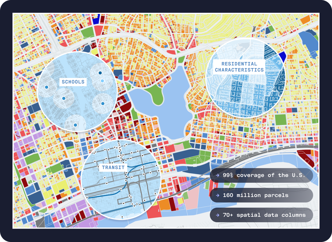
With nationwide coverage across 160 million US parcels, UrbanFootprint Base Canvas is an informed and granular information base that we continuously refresh to deliver high-quality, accurate, and trustworthy hyper-local data. This perspective consolidates hundreds of different land use languages across the US and dozens of public and private point-of-interest datasets into a standardized classification system that enables rapid querying and comparison of land use and proximity metrics, providing a foundation for building additional insights.
You have direct access to the Base Canvas data layer from UrbanFootprint Analyst.
Figure 1. Base Canvas in Analyst
 |